Airspace
Remote Sensing & Imaging services, turnkey Data Receiving Stations, UAVs, and privately-owned small satellites with onboard instruments
use scroll
For decades, airspace technologies have been improving and even saving lives all around the world, and they have never been more accessible than they are today.
With our readily available Remote Sensing & Imaging services, turnkey Data Receiving Stations, UAVs, and private small satellites with onboard imaging instruments, you can achieve outstanding results in a variety of areas, including environmental monitoring, construction and urban development, transportation and maritime navigation, meteorology and education.
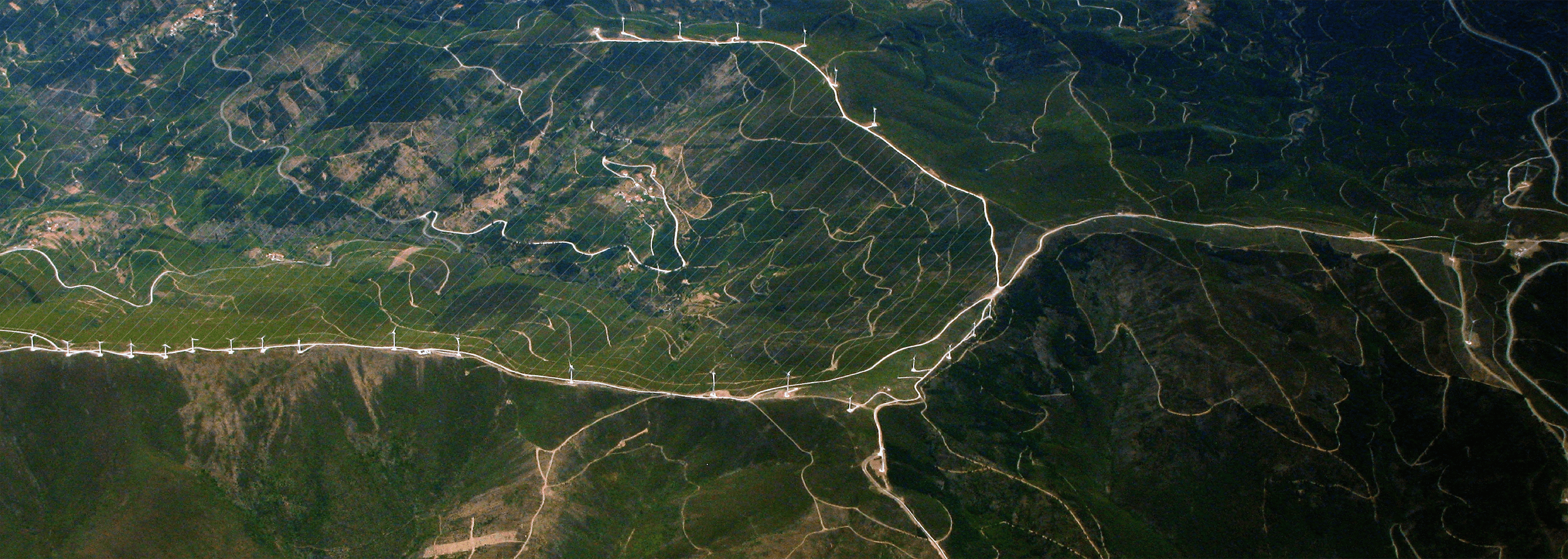
Earth Remote Sensing
Our technology allows you to examine the Earth’s surface using data collected by satellites and drones.
200
Remote Sensing & Imaging Products
We deliver ready-to-use data services, such as our own mathematical models, historical and analytical data sets, along with the software that allows you to develop your own independent services for a variety of industries, including environmental monitoring, land/cadaster management, construction, agriculture, maritime, meteorology, and education.
Over 200 products enable continuous monitoring of urban infrastructure, including traffic analytics and construction surveys; control of the state and use of agricultural lands, including accurate data on boundaries, crop areas, crop state, prompt identification of adverse natural impacts such as drought, pests, and diseases, and forecasting process support; detection of pollution cases, determination of pollution areas, and possible sources of pollution.
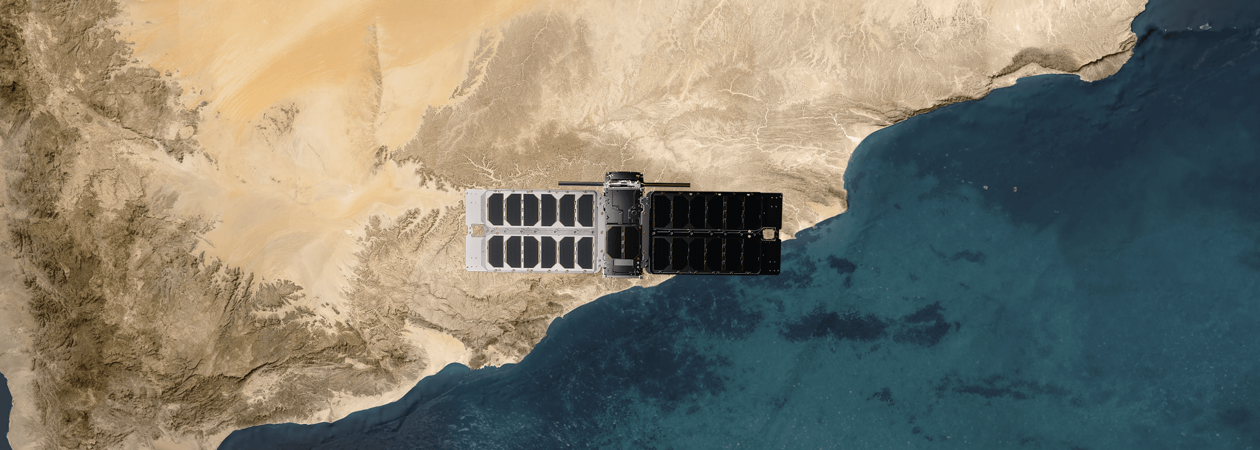
Small Satellites
Future demand will be higher for small satellites designed for separate missions with a dedicated set of instruments.
These satellites, which are far less expensive, might prove to be even more effective thanks to the great variety of equipment that could be installed based on the objectives of each mission.
We provide an exceptional chance to build your own independent space infrastructure based on mini satellites: space devices and satellites, including components, development of your own system for receiving satellite data (IoT, AIS, etc.), testing services and your own test benches for the development and testing of small spacecrafts, launch into orbit in collaboration with various providers, and satellite control with your own Mission Control Centre (MCC).
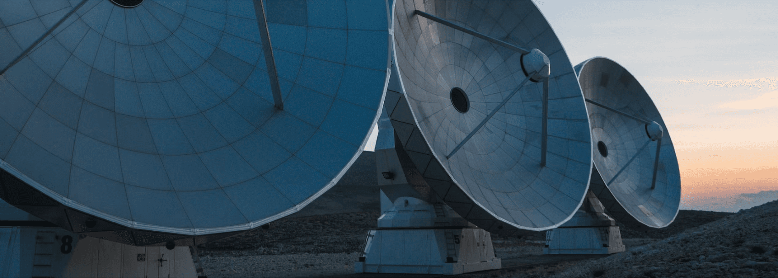
Ground Stations
Satellite Ground Stations are land-based facilities designed for collecting and streaming remote sensing satellite data to a variety of users and applications.
The cost of data acquired at the proprietary ground station is substantially lower than the cost of purchasing images from a distributor or operator.
We offer a universal hardware and software system capable of receiving real-time data from most space satellites (Terra, Aqua, Suomi NPP, FengYun-3, SPOT 6/7, RADARSAT-2, and others), and it is already installed and in service in seven countries.
X-band radar data with a high data rate
up to 750 Mbps in one radio channel
Easily configured receiving stations to aquire data from a new satellite
Satellite image processing using the dedicated technology
Real-time access to data and data-based products via GIS services
Education Programs
Space has never been more accessible than it is today.
We live in an incredibly fascinating period with space no longer being the domain of a few space-faring nations.
Through our educational programmes, students can build and operate a small satellite, use satellites to gather data for analysis, and generate Remote Sensing services.
These include creating the mission’s objectives, building and operating satellites, preparing analytical models and providing geoinformation services.

Unmanned Aerial Vehicles
Commercial drone use has increased over the past decade.
Apart from surveillance and delivery applications, UAVs are used for search and rescue, disaster response, asset protection, wildlife monitoring, firefighting, communications relay, healthcare and agriculture.
We offer one-of-a-kind heavy drones that are integrated with the internet of things (IoT) technology and may be used in a variety of industries.
Land Authorities and Insurance Companies Monitoring properties for claims and policies
Agricultural Companies Monitoring land and crops
Electric Utility Companies Examining power lines and operational equipment
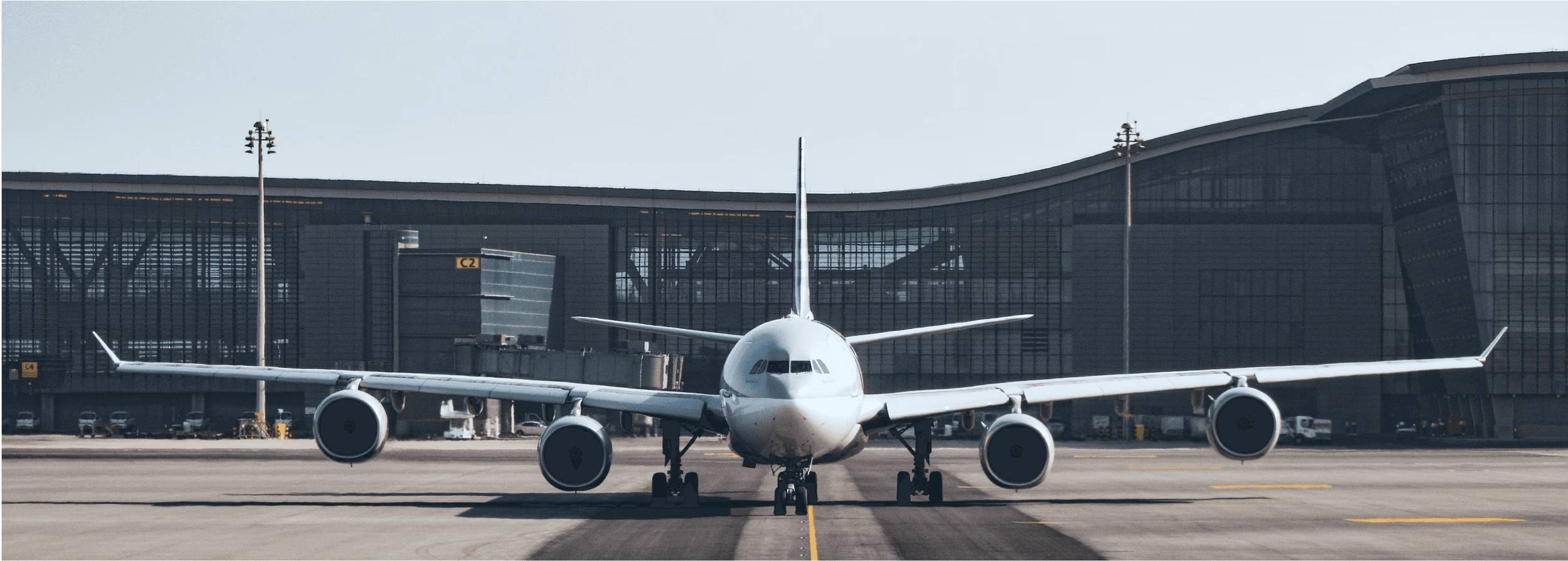
Air Travel Management Systems
We offer certified systems with proven effectiveness
- airports
300
- airlines
60
Air travel management systems (ATMS) are specialised digital platforms that automate and streamline airport and airline operations such as passenger processing, baggage tagging and handling, arrival/departure operations, departure control systems, information distribution, and air traffic control (ATC).
next section
Maritime