Maritime
Advanced marine robotics and cutting-edge onboard navigation systems, vessel traffic, coastal surveillance, and e-Navigation data systems and services
use scroll
Maritime industry is one of the viable pillars of the global economy. Today, it is experiencing a new technological revolution associated with the development of maritime telecommunications, artificial intelligence, and green technologies.
We transform the maritime industry with smart and green technologies: from advanced marine robotics and autonomous onboard navigation systems to VTS and coastal surveillance systems and data services adapted to e-Navigation concept.

Marine Robotics
Marine robotic vehicles are useful tools with numerous applications, ranging from investigating shipwrecks and recovering missing objects to monitoring ecosystems and mapping the seabed.
We offer a variety of ROVs (Remotely Operated Underwater Vehicles), ranging from Mini to Light Work class vehicles, with proven capabilities in hundreds of vehicles used in over ten countries worldwide. They include the most competitive small ROVs that consume three to five time less power than other small size ROVs, have a built-in battery and video display/recorder, and can be operated by non-professionals.
USVs (Unmanned Surface Vehicles) can assist in surveys in critical shallow waters with depths of less than 0.2 m, as well as locations where the use of conventional survey watercraft is restricted due to waterlogged, silty or densely vegetated shore. They are able to promptly measure areas in which depths and vessel passage configurations are unknown in advance, as well as promptly record hydraulic structures in sections of variable, surface- and underwater-level.
Coastal Surveillance
Strong demands exist for effective and all-encompassing control over the seas and coastal areas as a result of environment and marine resources preservation, the growing threat of extremism, the economic gap between rich and poor countries, and the push for projecting authority beyond national borders.
Smuggling, trafficking, illegal fishing, and other maritime crimes are the biggest concerns for marine administrations and sailors operating in high-risk areas. Extending offshore oil production and transportation poses significant dangers to the environment and the long-term development of maritime regions.
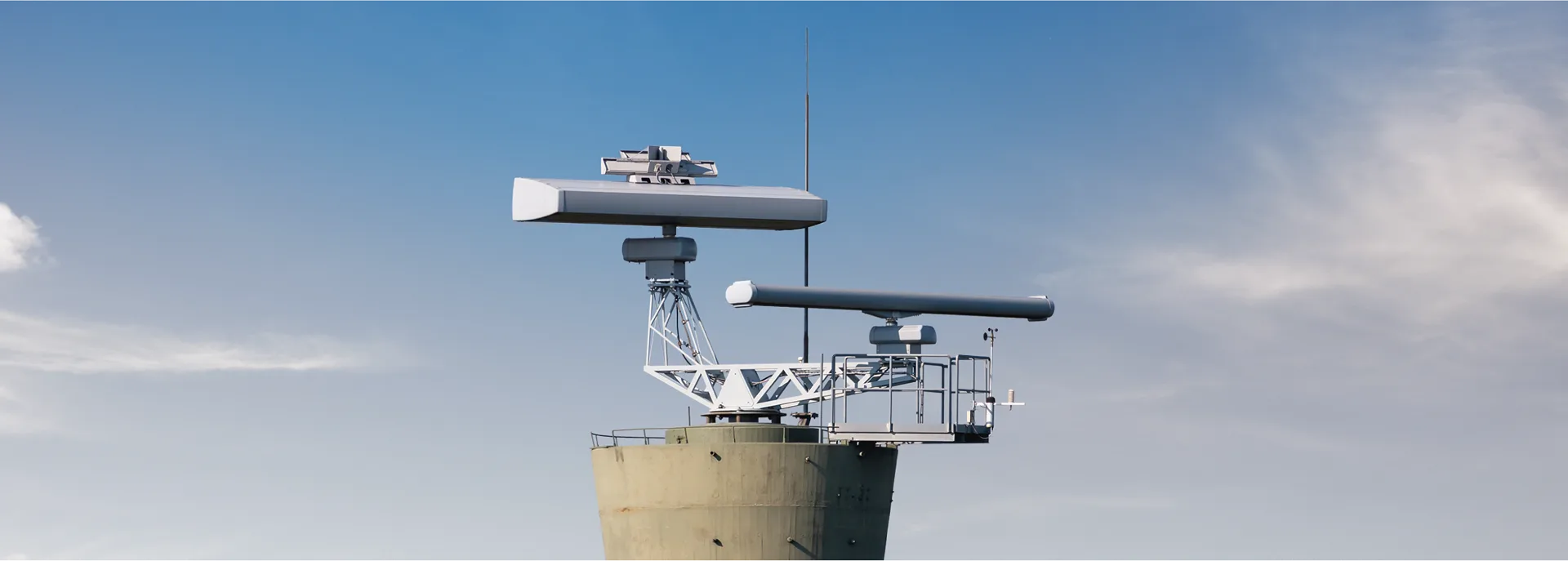
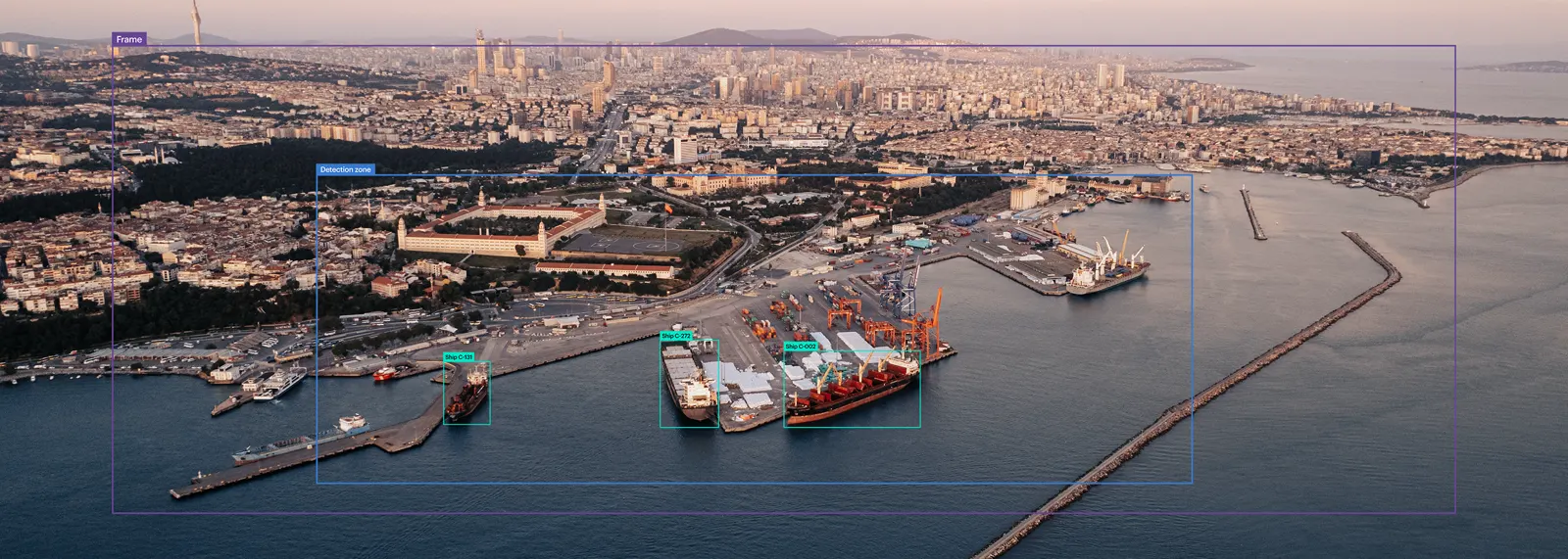
To ensure complete control over the entire area, we offer solutions ranging from the VTS and extensive coastal surveillance network to specific tools integrated into the current systems. They provide accurate detection, tracking, and identification of vessels and other objects, as well as quick and thorough detection of incidents, incident response, reporting, and forecasting.
Our flexible integration approach enables using existing infrastructure and any available devices.
Intelligent Monitoring
Today, digital technologies are crucial for navigation safety.
Our SSAS/LRIT equipment combines the real-time SSAS/LRIT functionality in a single, compact and reliable solutions at the best price on the market. It is primarily intended for real-time (less than two-minute latency) surveillance of small fishing and transport fleets and cargo around the world, as well as insurance and leasing organisations.
Unique solid-state X-band radars have low radiation (less than 1W - comparable to several mobile phones), high precision in target recognition - range resolution of up to 3 metres to distinguish between two or more targets located at the same azimuth - comprehensive tracking in all weather conditions (rain, snow, fog, etc.), and the ability to combine several radars into a single operator desk provides monitoring of vast areas.
The in-house Video Management System extends the conventional monitoring means such as radar or AIS with real-time video surveillance. It provides video data integration, storage and analysis along with automated objects and incidents identification and reporting, as well as the creation of web tags and alerts generation. As commodity hardware solutions are used without additional particular requirements, the integration of proprietary software with key hardware platforms results in a low-cost solution.
Non-destructive testing technology for ships and other equipment that uses a compact device called a "neurocomputer" to analyse data in real time at the installation site using embedded software. It is able to interact with current telemetry tools and offer analytics to different kinds of technological equipment.
Terminal Operation System
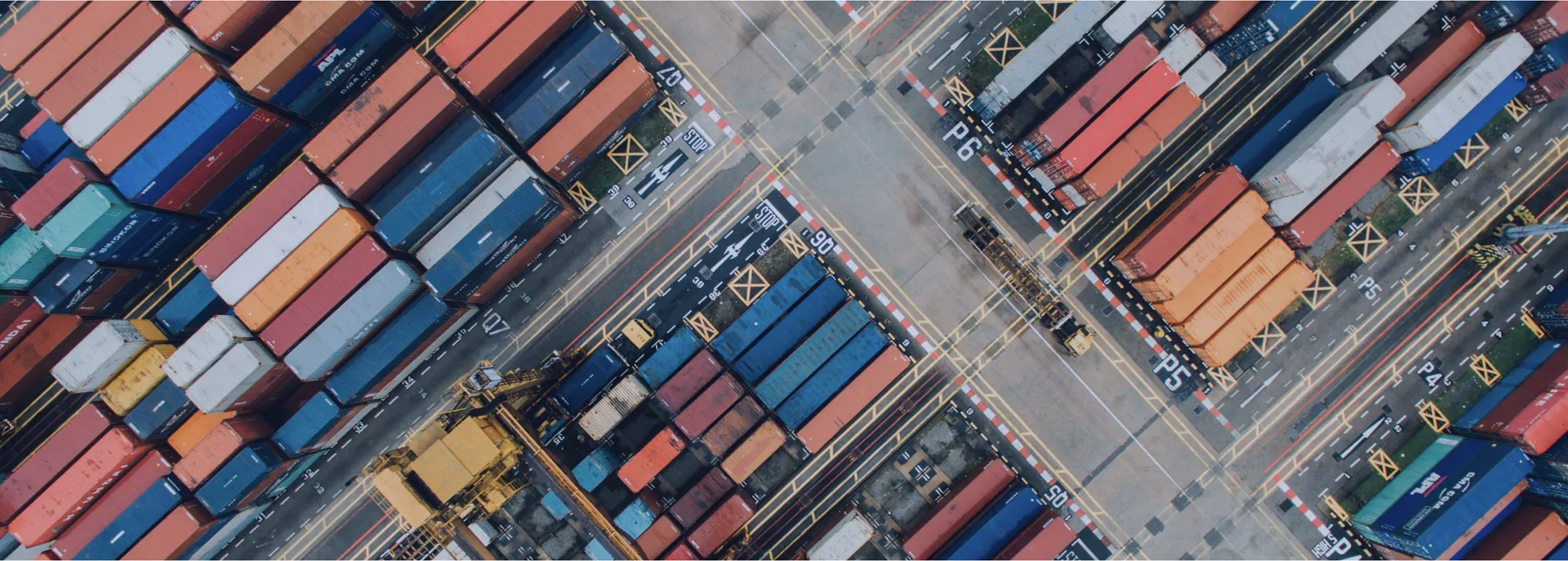
Seaports are a key element of logistics and the largest cargo terminals. Therefore, the digitalization of ports includes not only ensuring the safety of navigation, but also improving the efficiency of port logistics.
We provide comprehensive and advanced TOS, which are installed in over 40 terminals worldwide and can handle a variety of cargo: containers, bulk goods (fertilisers, grain, etc.), Ro-Ro, goods packed in bags and boxes (cacao, sugar, rice), construction materials, sawn material, round timber, metals (ferrous and non-ferrous), metal waste, machines, and so on.
The system handles everything from terminal process control to document management and commercial activities. EDI, KPI, AutoID, OCR, DGPS, and other technologies are also included in this integrated solution.
Earth Remote Sensing
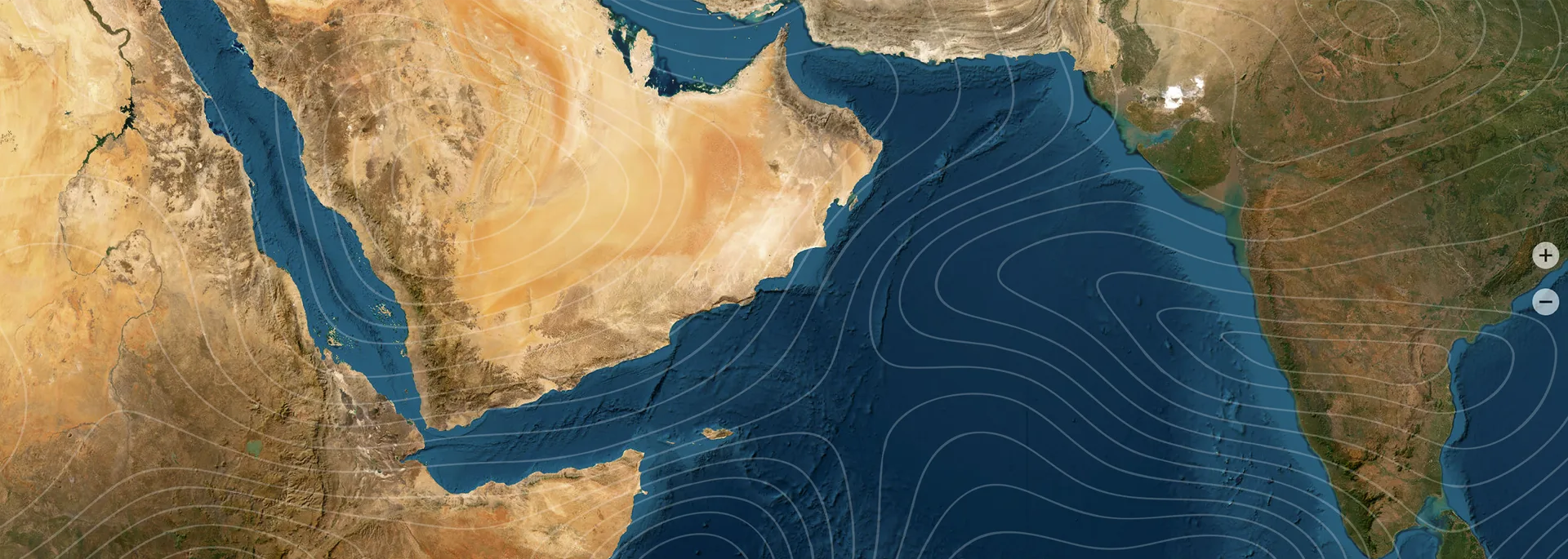
Earth Remote Sensing is the most affordable tool for monitoring large sea areas for various purposes.
Vessel traffic monitoring includes updates of vessel positions every 5 to 20 minutes, along with S-AIS data, integration of vessel data, as well as webcams, meteorological stations, fuel consumption rates, and azipod output, and access to historical records of vessel movements. Our AIS and all-weather radar data allows you to perform automated detection of vessels crossing the boundary of defined maritime regions or protected zones.
Rapid Oil Spill Detection and Forecast using radar imaging (within 30-40 minutes from acquisition). The drifts of hydrocarbon slicks are estimated using proprietary algorithms capable of tracking floating objects, predicting the movement of oil slicks, and retrodicting their drift during the preceding 96 hours. Identification of possible sources of contamination include stationary oil platforms clearly detected by satellite imagery and moving vessels.
Sea and weather monitoring with access to optical satellite imagery that is updated up to six times every full day, all-weather satellite radar data, ice concentration and thickness charts, and weather forecast data displayed as maps and text messages.
Specialised software for fully automated real-time and round-the-clock data processing: sea surface temperature, plankton condition, carbon content in water, synoptic features, atmospheric profiles, cyclonic conditions, cloud cover characteristics, and many more. Data integration via REST API and OGC WMS may be possible for further integration into external systems.